
Position: 45° 31’23.03”N 122° 40’35.34”W

What does it take to be a great adventurer? Bear Grylls is a great adventurer. You know the type: fearless, multi-talented, outdoorsman, skins snakes alive, never sleeps by the same river twice, dashing and completely unhinged. Most of us aren’t that person. Most of us have responsibilities like work that allows us to make motorbike payments and deal with a honey-do list that never seems to get shorter. On a good day we can squeeze in an episode of Sons of Anarchy between mowing the lawn and staining the fence.
Many, many motorcycle riders have repressed a primal desire to drop everything and head into the hills – forever. Yet so powerful is that impulse, that ignoring it will quite literally make you blind. The good news is that not every motorcycling adventure requires you to sell your house, quit your job and commit to two years of the squits in some fly-blown backwater. Sometimes the best adventures only require a long weekend in your backyard. Especially if your backyard is Oregon.
Day 1
Position: 45°00’15.1″N 120°45’11.3″W
LILY

In 2014, my Triumph Tiger 800XC motorcycle, Lily (you named your bike, right?), and I left Portland for the wilderness somewhere east of the Cascade Mountains. It was mid-June. Our goals were to find new roads and explore the John Day Fossil Beds; a place whose very name exudes discovery. We headed out on state highway 26 towards the Barlow Pass. There we turned right and headed southeast towards Shaniko, a real live ghost town.
Mount Hood stands an hour outside Portland and is the most climbed peak in the United States. Covered by clouds for much of the year, it’s easy to forget it’s there. But on this day, around noon, the clouds parted and sunshine lit up Hood’s brilliantly snow-capped peak in all its glory. By now most of the highway’s winter grit had been swept aside and things were drying out.
Nevertheless, at several turns along the winding road cold air swept out of the woods and fogged my visor. The highway forked just outside Government Camp, and we turned south, then due east at the next split. As we descended, the dense forests of Douglas Fir up the mountain gave way to thinner stands of Ponderosa Pine in the foothills. Eventually we flattened out onto broad, empty grasslands for as far as I could see.
MAUPIN
Maupin’s claim to fame is serving as a put-in point for rafters heading down the Deschutes River. The town is barely three streets wide and lined with coffee shops, and, of course, adventure outfitters. Unsure when I’d find gas again, I looked for a top-up on Google maps. It showed a service station in Maupin, but I was buggered if I could find it. It was then I began to realize that gas was going to be a challenge. Out here the distances between towns stretches out, so I started keeping a more watchful eye on my fuel gauge and odometer.
Leaving town, a few hairpin turns downhill set me alongside the river. I followed that for a bit, eventually turning back uphill. A couple more sharp bends and I arrived in my third ecosystem of the day. Prairie rolled away on either side of me, interrupted only by occasional crags and red, rocky outcrops at the very top of the river’s gorge. With the mountains fading into my rearview mirrors, the scene in front of me was pure Kansas.
SHANIKO

Shaniko isn’t completely abandoned. Besides an aging hotel and dilapidated, weather-beaten barns, there’s a small antique emporium with a deli manned by a fellow who makes a damn fine turkey sandwich. After I ordered I wandered around the bric-a-brac and chatted briefly with a woman about my age.
“How do you pronounce this town’s name?”, I asked. “Shan-nee´-ko?, Shan-eye´-ko?”
“Shan´-i-ko,” she replied, “and it’s not really a ghost town. Bodie, California is a real ghost town. Now that’s a place to visit. It’s a state park now. You can’t go in the buildings anymore because people stole things in the early days.” She looked past me and out the door to the south. “I miss California,” she said, a little wistfully.
Quaint as it was, Shaniko had no gas. Just an abandoned garage with a set of rusty pumps. “There’s a guy up the road selling cans of gas for 10 bucks a gallon if you need it,” the deli guy said. Madras, 38 miles south and the county seat, is so big even Safeway has gas there. Since the wind had been behind me most of the day, I did the mental math and headed south.
Pass
My rough plan called for the John Day Painted Hills that night. That meant I had another couple of hours riding ahead of me. Heading down highway 26 I passed a big sign stating, ‘Welcome to the Crooked River National Grasslands’, I fought the temptation to get off the highway and explore the beautiful rolling hills. Instead, I made a mental note to return when I had time to do them justice. Ahead of me the road rose steadily, winding its way up through the Ochoco National Forest.
At an elevation of 4,100’ the Ochoco Pass tips over and you find yourself gliding down big sweepers and gentle twisties into what I later learned was the original west coast of America. Canyons reared up in front of me and the road apparently dead-ended smack into the hillside. At the last minute a hairpin turn tracking the river wriggled through the folds in the earth and I was through the blockade. I wasn’t in Kansas anymore.
John Day

John Day Painted Hills Unit that way, the sign indicated. Turning off the highway as the sun dropped, the golds and greens of the scrubland steadily intensified. Three miles in a couple of small, layered knolls were just an overture to the upcoming symphony. Pavement gave way to gravel at the entrance to the Painted Hills State Park. Around the corner, visitors are treated to a panoramic view of the brilliantly multi-colored hills in a wide, natural amphitheater.
Like a wedding cake, each distinct layer is separated by a fossil-rich limestone frosting. It was about 7:30PM and golden hour was almost on us. Humbled by my surroundings and feeling more than a little insignificant in the face of millions of years of geological history, I spent a quiet hour wandering the trails taking pictures. Long shadows drew over me as the sun dropped. A knot that had sat between my shoulder blades all week quietly unraveled as I relaxed and drank in my surroundings.
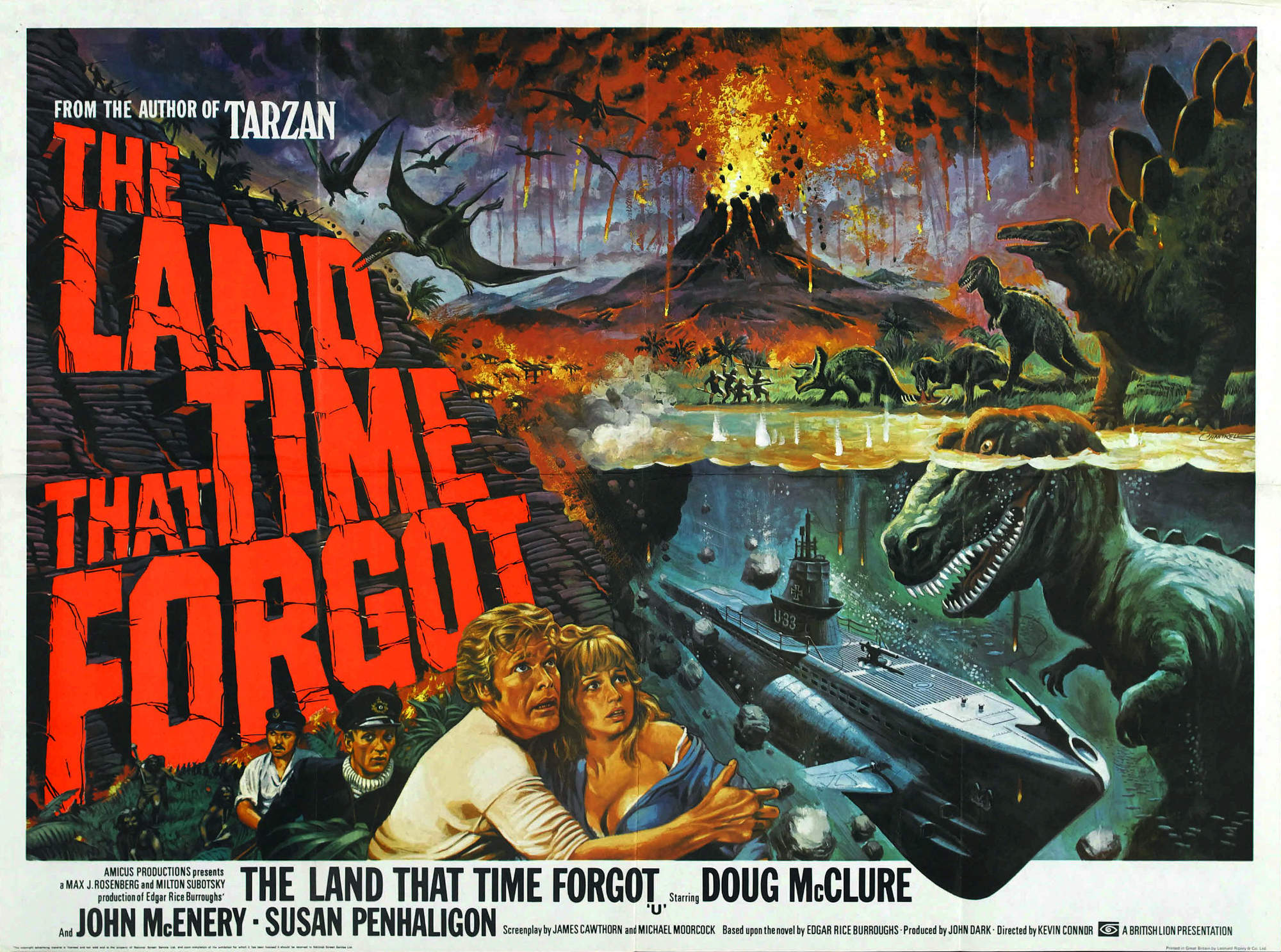
DOUG MCCLURE
Ten miles further up the trail I found a Bureau of Land Management campsite alongside the John Day River. A steep winding track led me into the Land That Time Forgot. Big, fist-like projections of basalt and groves of lush deciduous trees loomed under the surrounding overhang of tall cliffs. I expected Doug McClure and a couple of T-Rex’s to jump me at any minute. I pitched my tent and threw my sleeping bag inside. The night was clear and cool and most of all quiet. I slept soundly.


DAY 2
Position: 44°33’09.0″N 119°38’43.3″W

The Thomas Condon Paleontology Center is one of many National Park Service centers around the country. All of which, in my experience, are worth stopping at. Named for Thomas Condon the minister and geologist (left), this one did a great job describing the pre-history of the region, its subsequent re-discovery in the late 19th century, and how it rose to national importance.
Quite honestly, I had no idea the surrounding desert was at one point a sub-tropical jungle overrun with hundreds of animals that I’d never heard of. America’s first horse, the Eohippus, a dog sized creature first appeared just out back behind the washrooms 50 million years ago. Palaeontologists have since identified 16 sub-species.
This being a sunny Sunday, there was no shortage of other bikers around. One of whom, in full Harley tribal gear (bandana, leather vest, white beard and chaps), was grumbling loudly that the exhibition was all BS, that the earth was only 7,000 years old and why were they even bothering since it was all only a theory, anyway? Other patrons made their way around him cautiously – as though he were a scrofulous drunk. Condon himself put it rather more ecumenically: “Evolution was simply God’s method of working, and therefore not atheistic or infidel.”
Ever vigilant, I asked a ranger if I could find gas north of here? She said I’d find some in Spray. Spray? Yes, Spray. Cool! Outside in the brilliant sunlight I looked up at the jagged peak of Sheep Rock and admired its clear strata. I wondered what it would be like finding seashells near the top of a mountain and what a wild ride it must have been to get them there in the first place.
Rocks

Turning north along the river you ride through a primordial landscape once covered with palm trees and crocodiles (you know this because you were paying attention in the exhibits). The river gets prettier by the mile and then, thanks to millions of years of erosion, coughs up spectacular geological formations. Sitting on a sharp bend one of the finest formations, Cathedral Rock, emerges distractingly over the mercifully deserted road. There’s just enough time to veer off at the blind corner, then double back for a few photos before the next truck appears.
Spray

Spray boasted a couple of lonely, but functioning gas pumps outside the Lone Elk Market and general store at the town’s main intersection. I filled up and paid and asked what was cooking? The lady serving me said she was frying fresh chicken and there were homemade beans as a side. That’s all I needed to hear, and she led me into her restaurant out back by the kitchen.
One of my favorite things about traveling is chatting with locals and other travelers and listening to the stories they share. Turned out my chef/attendant/waitress ran the Post Office in a town somewhere south of Spray for many years. Agribusiness gradually muscled in and started buying up land. It then plowed the farmsteads into vast grazing fields. Slowly the local population either moved away or died.
By the looks of things Spray was going through a similarly long, slow transition. Only a few families remained in the little community, but everyone knew each other and the gossip was of the gentler variety. The appearance of a young couple and their small, happy baby lifted my mood and gave me a modicum of hope for this little town with its terrific diner.
Pamphlet
My plans, such as they were, petered out the night before at the Painted Hills. With a a full stomach and a motorbike that could handle most any terrain there was nothing to stop me heading towards Heppner and enjoying the twisties along the way. There I picked up the Blue Mountain Scenic Byway heading east towards the Umatilla National Forest. The road was sweaty with recent rain. Following Willow Creek, the byway wound for 20 miles through a beautifully bleak and treeless valley. Canyon walls at the far end of the byway rose and deepened and would, I was sure, once again try and swallow me whole. They didn’t. Crossing a bridge, the pavement narrowed as I entered a dark, dense pine forest. My phone went ‘ting’ once. My signal had vanished and I was officially off the grid.
Evening was on its way and coming in much cooler than expected. I had unknowingly reached 5,000’ of elevation. As there was no one around to ask advice from and without Google I was reduced to the old school method of reviewing campground information boards for directions. I found a handy Forest Service pamphlet describing the area’s recreational options. Penland Lake seemed to have everything you could want from a campsite.
Heading in what I hoped was the right direction, the forest road rapidly turned from tarmac into a thick layer of newly poured gravel. Imagine you are riding a bike and the road changes from sandpaper to marbles. After two days of asphalt, it took me a few minutes to get used to my rear wheel swimming around. I was glad I had a decent set of Heidenau tires under me for traction. It felt good. It felt like freedom.
Fir

Thanks to the rain, the first campsite I came across was all slippery mud and tree stumps and completely empty. Voices floated up at me as I paused to get my bearings. Just between the trees ahead of me, I made out a sheen of water. Down at the lakeside the little forest road turned into rough single track. I carried on riding around the lake’s shoreline until I found an open campsite not surrounded by pickup trucks.
Under a thick canopy of fir trees I bumped over a couple of roots barely poking out of the spongy soil and stopped. I hit Lily’s kill switch and exhaled as everything went quiet. Looking across the lake, a stiff breeze dappled the reflections of the hills on the far side. The heavy grey clouds disassembled into the pinks and purples of sunset. Wind gusts sighed along the treetops, but all was still at the water’s edge. I wasn’t all that far from home, yet here was all the refuge from life’s daily madness anyone could want. Heaven, for this was my little slice of heaven, is an adventure happily discovered at the end of a brilliant day’s motorcycling.


Day 3
Position: 45°07’06.5″N 119°19’00.8″W
Tea
I slept like a rock and awoke a little reluctantly. Unzipping the window of my tent I looked out over the reeds towards the far shore of the lake. It was cool, cloudy and still. Most of all it was quiet. No buzzing, no voices, nothing but the occasional cricket and the click clack of the reeds quietly tapping into one another. There were enough people around that I knew my idyl couldn’t last. I roused enough energy to peel off my sleeping bag and started messing about with stoves, boiling water and making tea. Once that was done it was time to pack up and head home.
Deluge

Doubling back on my route in, I headed downhill and once again rode alongside Willow Creek towards Heppner, a small town with a tragic history. Just over a hundred years ago a cataclysm of near-biblical proportions almost destroyed the bustling little place. After a prolonged dry spell, heavy rains arrived on the afternoon of Sunday, June 14, 1903. The rains were at first welcomed. However, the area around Heppner is mostly barren high desert. Without much plant life to soak up the water, the surrounding hills were already soddened from rains earlier in the week. That Sunday huge thunderstorms rolled in breaking over the hills in a deluge of rain and hail.
Balm Fork and Hinton Creek, Willow Creek’s main tributaries, immediately filled to their banks. Minutes later flood waters surged out of the gullies and into Willow Creek where it converged and formed: “…a great pyramid of rolling dirty wool. Projecting from this at every conceivable angle, writhing, twisting, and tumbling but ever moving onward with the speed of an express train, were trees, houses, great rocks and tons of earth.”
A wall of water as high as the tallest barn in the county had roiled up from the south and smashed through the center of town driving everything in its path northwards. In all 247 townspeople lost their lives. Downstream in the towns of Lexington and Ione a further 18 victims died from typhoid when raw sewage overflowed and poisoned their water supplies. Striking as it did on a Sunday afternoon, the town was about as full as it could be on the local’s day of rest*.
Swoosh

Thankfully, at the time I passed through I was blissfully unaware of any of that, and I turned west across the high plains with their deep scars towards Condon. The wind out of the north blew steadily across my path. There was nothing but a wide expanse of waving golden grass for as far as I could see. Happily, the road would occasionally bend and curve as it made its way in and then out of ravines, but for the most part the landscape was flat and empty.
Condon was not named for Thomas Condon, but for his nephew and lawyer, Harvey. Harvey established the place in 1884. Not much has changed. Today it serves as the center for the county’s agricultural community and boasts an American Graffiti-style main street, complete with a retro-looking cinema, the Liberty Theater, and a couple of malt shops.
After a quick bite, I rode south to Fossil, where, of all people, Bill Bowerman, America’s greatest-ever track coach and Nike co-founder, made his final resting place. Fossil has a frontier vibe softened only slightly by a couple of kitschy antique emporiums and espresso cafés.
Hipsters

Heading south along the Shaniko – Fossil highway, and back into prehistory, it was only a few miles to the Clarno Unit of the John Day Fossil Beds National Monument. The Palisades is a beautifully distinct outcropping formed from the volcanic mudflows that engulfed and ultimately preserved the remains of four-toed horses, meat-eating creodonts and remnants of the surrounding jungles. From there it was on to Antelope, the once and future home of the late Bhagwan Shree Rajneesh and his cult members.
In celebration of the 25th anniversary of the collapse of the cult our local rag, The Oregonian, created a nice summary of all the Rajneeshi’s shenanigans a few years ago: Oregonian on Rajneesh. Suffice it to say that even those who believe they have a clear path towards enlightenment may still fall foul of personal ambition and power politics. It still impresses me that 2,000 people were so disillusioned with their lives that they pitched it all in and made their way to a dry patch of farmland in the middle of Oregon, presumably hoping the grass would be greener. It wasn’t.
Some locals complain that the TV show ‘Portlandia’ is having a similar cult-like effect on a new generation. Attracting legions of disillusioned, wannabe hipsters to the city and filing off its sharper, more creative edges in the process.
Fogged
Mount Hood, like so many of our National Forests, is criss-crossed by logging trails. With a decent compass it isn’t hard finding your way around the woods. Armed as I was with an iPhone, I figured that it would be fun to try and find a shortcut home. However, the problem of using an iPhone as a direction finder is it relies on cellular signals and batteries, both of which are invariably in short supply deep in the woods. In the end I circumnavigated Timothy Lake and wound up back on Route 26, the main road over the mountain.
Then just outside Government Camp the heavens opened. This was my first experience of riding in really heavy rain on a motorcycle. I quickly understood why so many riders seek shelter under bridges. It’s not so much a traction issue, which itself can be a learning opportunity, it’s more a visibility problem. Your helmet fogs and other than your fingers your visor has no wipers, and clouds of spray coming off the road make you all but invisible to other drivers. Fortunately, the cloudburst didn’t last long, and by the time I arrived home 40 minutes later I had more or less dried out.
Wild
Three days and 300 million years of wild western history sit on my doorstep. The empty spaces of Oregon, less than an hour outside Portland, are a wonderful compensation for the city’s hustle and bustle. It is one of the things that makes this part of the world so wonderful to live in. Come, ride, enjoy!


*For the complete story of the Heppner flood, pick up a copy of Joann Green Byrd’s excellent account, Calamity: The Heppner Flood of 1903.
Editor’s Note: this blog was originally published back in 2014 when we were living near Portland, Oregon.


